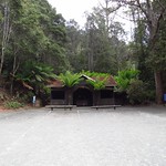
Walking to the Pelverata Falls Lookout

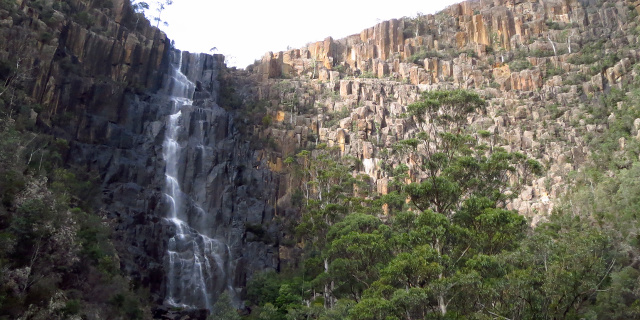
Photograph of long brown cliff with waterfall flowing down part of it.

Pelverata Falls form where Pelverata Creek flows west off Snug Tiers on the Huon Peninsula, Tasmania, Australia. The walking track described here leads from Crosswells Road to a lookout below the falls.

Getting there

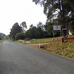
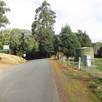
Two road routes led to the start of the walking track. Both were slow driving due to the many bends.

  1. South from Sandfly on Pelverata Road. Drive through Kaoota and Pelverata, then turn left onto Crosswells Road. This half of Pelverata Road was narrow, but was sealed, unlike the other half.
  2. East from Woodstock on Pelverata Road. Drive through Upper Woodstock and across several bridges, then turn right onto Crosswells Road. This half of Pelverata Road was unsealed, but was wider than the other half.

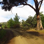
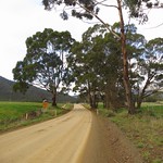
Crosswells Road was also unsealed but only a kilometre long, ending in a car park at the start of the Pelverata Falls Track.
Continue reading “Walking to the Pelverata Falls Lookout”

Walking to Snug Falls

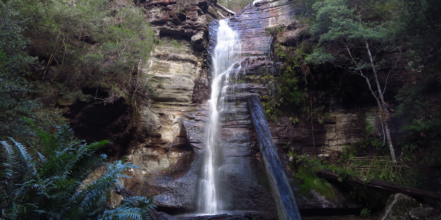
Photograph of waterfall pouring down layered cliff.

Snug falls form where the Snug River flows off Snug Tier, near the town of Snug on the Huon Peninsula, Tasmania, Australia. A short walk leads to the base of the falls.

Getting there

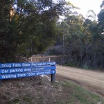
First we drove to the town of Snug, on the eastern side of the Huon Peninsula. Roads on the peninsula have more hills and bends than maps may suggest, so allow plenty of time for this part. From, Snug, Snug Tiers Road led west off the Channel Highway. This soon changed from sealed to unsealed, and split in two, with Snug Tiers Road continuing on the right and Snug Falls Road on the left. We took the left turn onto Snug Falls Road and followed it to the clearly signed car park.

Continue reading “Walking to Snug Falls”

Walking the Fern Glade Track, Marakoopa Cave

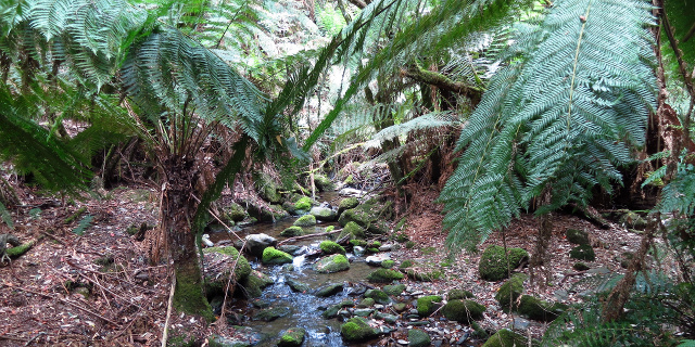
Photograph of creek flowing under ferns and over mossy stones.

The Fern Glade Track is a short walk through rainforest near Mole Creek, Tasmania, Australia. It follows Marakoopa Creek to the mouth of Marakoopa Cave.

The Fern Glade at Marakoopa Cave should not be confused with the Fern Glade Great Short Walk along the Emu River in Burnie, the Fern Glade at Fern Tree on Mount Wellington or the Ferndene fern glade in the Dial Range, Penguin.

Getting there

The Fern Glade Track lies within the Mole Creek Karst National Park, so visitors will need a current National Parks Pass or to buy a ticket for the Marakoopa Cave tour.

To reach the start of the walk, we drove along Liena Road, then turned south onto Mayberry Road and followed it to the Marakoopa Cave ticket office. A car park here gave access to the north end of the Fern Glade Track. Another 500 metres beyond that was the car park for Marakoopa Cave itself, and the south end of the track. All roads and car parks were sealed.

Continue reading “Walking the Fern Glade Track, Marakoopa Cave”