Walking along Jack’s Track, Strathgordon

Photograph of rainforest with boardwalk winding through it. The boardwalk is covered in moss.

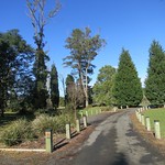
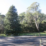
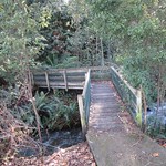
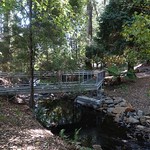
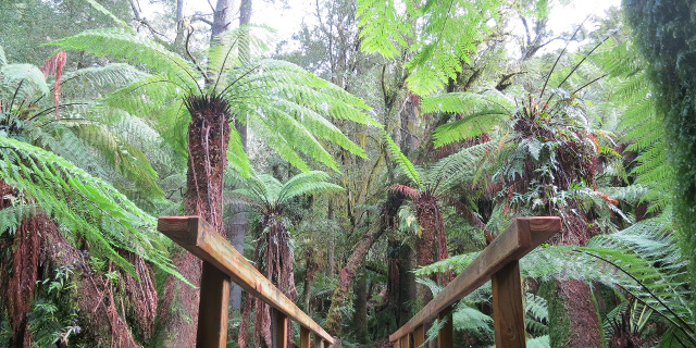
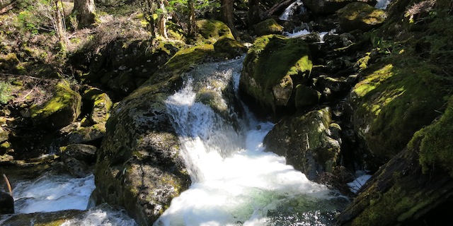
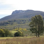
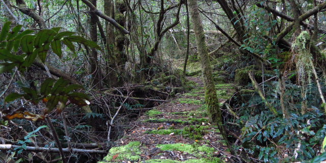
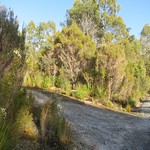
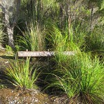
Jack’s Track (appearing on some signs as “Forest Trail”) is a short walk in the village of Strathgordon, Tasmania, Australia. It offers a small sample of the rainforest for which Tasmania’s south-west is famous.

Getting there

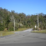
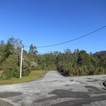
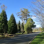
For walkers not possessing a seaplane, travel to Strathgordon involves driving most of the length of Gordon River Road. This was wide and sealed, as it had been built for the trucks that carried machinery to the power station. However, it was also long and twisty. When planning your journey, do not assume that you will be able to drive at highway speeds anywhere beyond the intersection with Scotts Peak Road.

As of 2014, the last public petrol station was in Maydena. Be sure to fill up there.

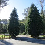
Once in Strathgordon, both ends of the track are a few hundred metres away. Park at your accommodation (if staying overnight), at the chalet (if eating there) or at the northern end of the track on Spring Street. Do not park at the southern end of the track on Gordon River Road.

Continue reading “Walking along Jack’s Track, Strathgordon”

Walking to Lilydale Falls

Short wide waterfall, showing streaks due to long exposure.

Lilydale Falls flow down the Second River, near Lilydale, Tasmania, Australia. There are two falls accessible by a short walk along a well-made track.

Getting There

The falls car park was a short drive from Launceston, just north of the town of Lilydale. The road was sealed all the way up to and including the car park. A sign a few hundred metres before the turnoff to the car park would have been helpful. The turnoff itself was clearly marked by large signs.

Continue reading “Walking to Lilydale Falls”

Walking in Notley Fern Gorge

Notley Fern Gorge is a short distance northwest of Launceston, Tasmania, Australia. Gowan’s Creek flows through a small patch of rainforest, surrounded by moss, fungi and the eponymous ferns. A 1.5 kilometre walking track loops through the gorge.

The walking track crosses Gowan’s Creek on four bridges. Floods in August 2013 damaged these bridges and the track. The Parks & Wildlife Service repaired the track, replaced the bridges and re-opened the circuit in June 2014.

Getting there

For people living in or near of Launceston, this is one of the easiest walks to reach. From the West Tamar Highway, turn onto Bridgenorth Road then right onto Notley Gorge Road. When Notley Gorge Road meets Notley Hills Road, take the sharp left turn. This route is sealed up to and including the car park at the start of the walk.

From the north, Notley Hills Road is unsealed.

Continue reading “Walking in Notley Fern Gorge”

Walking along Mother Cummings Rivulet

Water flowing around boulder into blue pool

Mother Cummings Rivulet flows out of the mountains southwest of Meander, Tasmania. Following the rivulet upstream leads to Smoko Falls, and eventually to Cummings Head. The track to Chasm Falls is also in the area.

Getting There

Drive to Meander, then turn south along Huntsman Road. Turn right onto Meander Falls Road. Avoid the bridge to Meander Falls; you are now on Smoko Road. Follow that to a small turning circle and a sign pointing to “Chasm Falls”, “Smoko Falls” and “Mother Cummings Peak”.

Continue reading “Walking along Mother Cummings Rivulet”