Pelverata Falls form where Pelverata Creek flows west off Snug Tiers on the Huon Peninsula, Tasmania, Australia. The walking track described here leads from Crosswells Road to a lookout below the falls.
Getting there
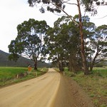


Two road routes led to the start of the walking track. Both were slow driving due to the many bends.
- South from Sandfly on Pelverata Road. Drive through Kaoota and Pelverata, then turn left onto Crosswells Road. This half of Pelverata Road was narrow, but was sealed, unlike the other half.
- East from Woodstock on Pelverata Road. Drive through Upper Woodstock and across several bridges, then turn right onto Crosswells Road. This half of Pelverata Road was unsealed, but was wider than the other half.
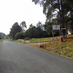
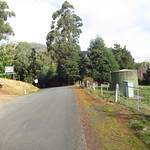
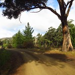
Crosswells Road was also unsealed but only a kilometre long, ending in a car park at the start of the Pelverata Falls Track.
Track

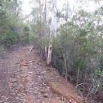
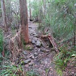
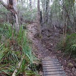


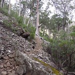
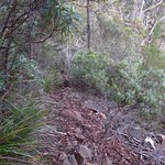
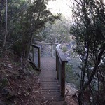
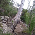
A sign at the car park stated “Pelverata Falls Track 3hrs rtn,” which was about right. We all took between two and three hours. The start of the track was good, but it became narrower and rockier, especially as it crossed a scree slope near the lookout. The final descent to the lookout was very steep and covered in loose stones.
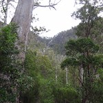
Plants
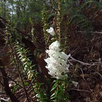
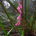
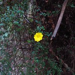
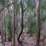
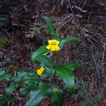
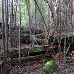
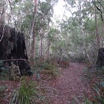
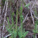
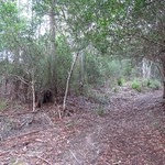
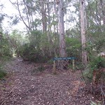
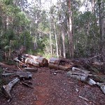
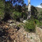
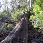
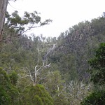
The track passed through fairly dry forest, passing under many tall Eucalyptus trees. A variety of smaller plant species grew beneath them. There probably were many flowers in spring, but we were visiting in May (late autumn).
Fungi

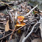
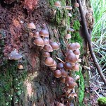
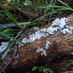
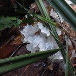
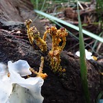
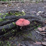
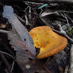
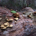
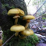

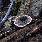
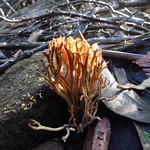
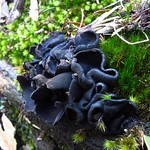
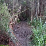
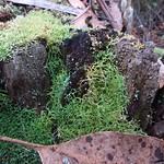
This track was rich in fungi at the time of our visit, surprisingly so for an otherwise dry forest. The Tremella fuciformis growing in the muddy clearing were especially notable.
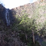
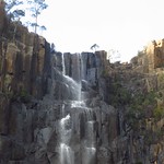
Slippery Falls
Before the Pelverata Falls Track reached the lookout, it offered views of a different waterfall: Slippery Falls, where Slippery Creek reached the side of Square Hill.
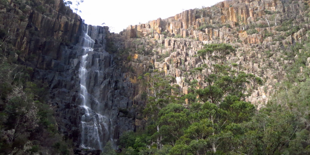
Pelverata Falls
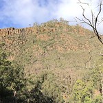
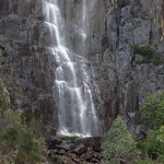
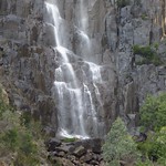
The lookout looked up at Pelverata Falls and the cliffs they flowed over.
Video
This video shows Pelverata Creek and Pelverata Falls from the lookout.
Facilities
| Latest visit | 23rd May 2015 |
|---|---|
| Road | Unsealed for all of Crosswells Road and half of Pelverata Road |
| Parking | Medium |
| Shelter | No |
| Toilets | No (the Pelverata Memorial Hall public toilet may be open; if not, go to Huonville or Sandfly) |
Opinions
Walking Stick
Reached the view of Slippery Falls, but could not reach the lookout. This track was not suitable for those of limited mobility. However, the first leg on the overgrown old road was of interest and led eventually to a farm gate overlooking a pleasant view. Took note of the impressive rockwork holding up the road.
Ambler
Walks 6.3 kilometres in 2 hours 19 minutes. Found the scree slopes near the falls to be slow and unpleasant to walk on. The falls had an imposing drop but did not justify the walk.
Racewalker
A reasonably easy walk with a moderate climb, but the last section had a steep descent and a couple of rock crossing require some agility to avoid a long fall. The vegetation did not vary as much as on many other shorter walks. The falls were high and fairly impressive although the lookout was a bit too far away and there was no easy access close to the base.
Should I visit?
There are better walks. On the other side of Snug Tiers, the Snug Falls Track is a shorter and more pleasant walk to a more picturesque waterfall.
After heavy rain, the Pelverata Falls Track does have the advantage of being relatively dry and probably short on leeches. A common problem with most other waterfall tracks is how damp they get when the waterfalls are at their best.