Walking to Tomahawk Point, Tasmania

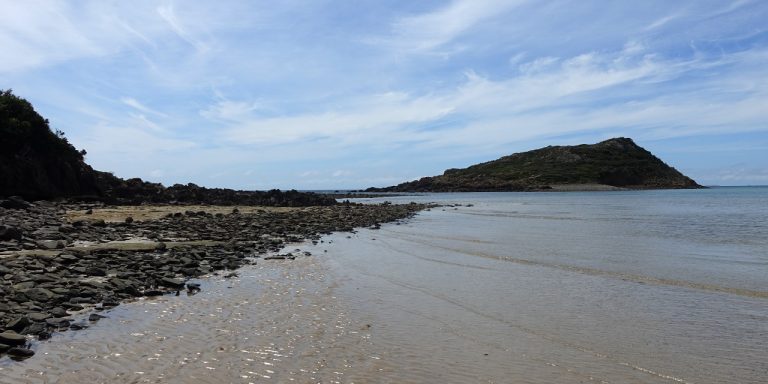
Photograph of beach with rocky point on the left and small island on the right.

Tomahawk Point is a coastal feature near Tomahawk, Tasmania, Australia. A short walk leads from Tomahawk to Tomahawk Point.

Getting there

This part of Tasmania could use some more creative nomenclature: Tomahawk Road led to Tomahawk, where we parked near Tomahawk Beach and walked across the Tomahawk River to reach Tomahawk Point and look at Tomahawk Island.

Tomahawk Road led north off Waterhouse Road. It took 10 minutes to drive from there into Tomahawk. Once there, the car park for Tomahawk Point was a left turn onto Morgan Esplanade, and then another left turn to the car park.

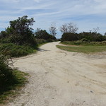
All roads were sealed until the final 200 metres of Morgan Esplanade. Drivers wishing to avoid any gravel could easily park there and walk the additional distance.
Continue reading “Walking to Tomahawk Point, Tasmania”
The View from Sumac Lookout

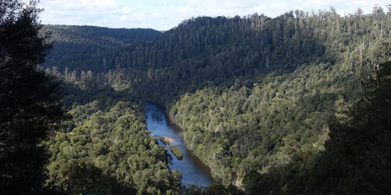
Photograph of wide river winding through forest.

Sumac Lookout is a view over the Arthur River in northwest Tasmania, Australia.

Getting there

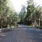
Sumac Lookout was on Sumac Road. It was about 1.7 kilometres from Kanunnah Bridge over the Arthur River, and 7.3 kilometres from the Julius River car park (which is also where the nearest toilets were). Sumac Road was sealed here, as was the entire main road for the Tarkine Drive.

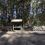
The car park was a wide expanse of asphalt on the northeast side of Sumac Road. A large carved wooden sign made it difficult to miss. The road was otherwise narrow, and drivers who missed the car park could have difficulty turning around.
Continue reading “The View from Sumac Lookout”

Walking to Trowutta Arch

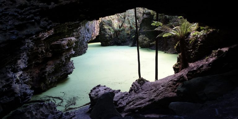
Photograph looking through limestone rock arch towards a flooded sinkhole covered in green leafy plants.

Trowutta Arch is a geological feature south of Smithton, Tasmania, Australia. It is a natural arch eroded out of limestone. A walking track leads to the arch and an adjacent flooded sinkhole.

Getting there

Trowutta Arch was a long way from most of Tasmania. From anywhere not already on the west coast, it meant driving:

  1. West along the Bass Highway
  2. South through Edith Creek
  3. East onto Trowutta Road and Reid’s Road
  4. South onto Reynold’s Road for 3 kilometres (unsealed)
  5. East onto Gun Road for 1.3 kilometres (unsealed)

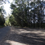
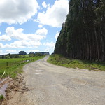
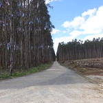
These roads passed through some scenic country, but each was progressively narrower and slower to drive on.

Trowutta Road and Reid’s Road were part of the Tarkine Drive, which looped past several other features of the Tarkine.

Continue reading “Walking to Trowutta Arch”