Walking to Trowutta Arch

Photograph looking through limestone rock arch towards a flooded sinkhole covered in green leafy plants.

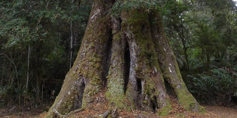
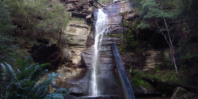
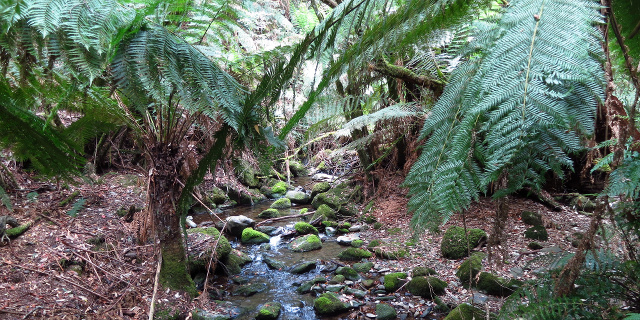
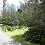
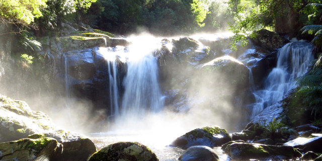
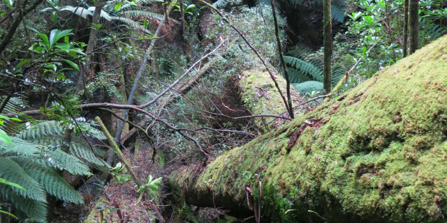
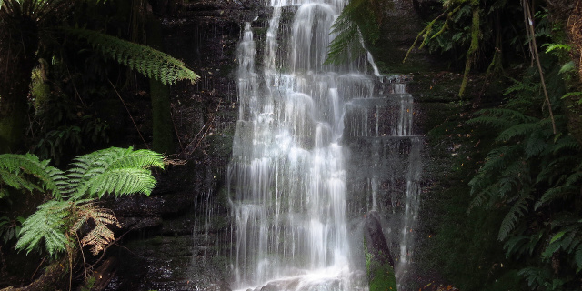
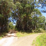
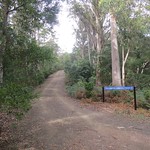
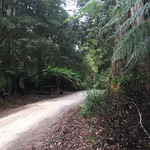
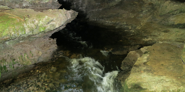
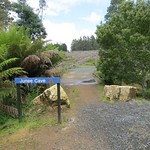
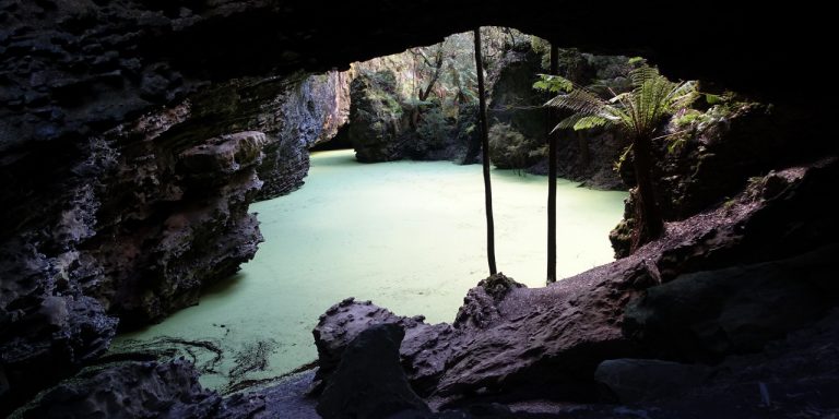
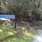
Trowutta Arch is a geological feature south of Smithton, Tasmania, Australia. It is a natural arch eroded out of limestone. A walking track leads to the arch and an adjacent flooded sinkhole.

Getting there

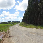
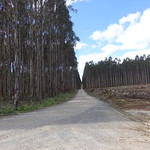
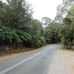
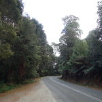
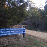
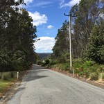
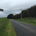
Trowutta Arch was a long way from most of Tasmania. From anywhere not already on the west coast, it meant driving:

  1. West along the Bass Highway
  2. South through Edith Creek
  3. East onto Trowutta Road and Reid’s Road
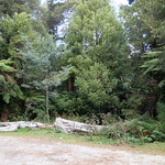
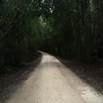
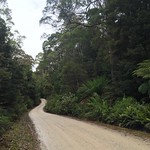
  4. South onto Reynold’s Road for 3 kilometres (unsealed)
  5. East onto Gun Road for 1.3 kilometres (unsealed)

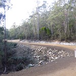
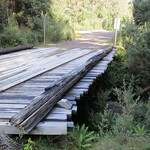
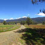
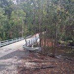
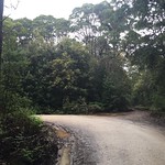
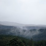
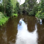
These roads passed through some scenic country, but each was progressively narrower and slower to drive on.

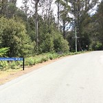
Trowutta Road and Reid’s Road were part of the Tarkine Drive, which looped past several other features of the Tarkine.

Continue reading “Walking to Trowutta Arch”

Walking the Weldborough Pass Rainforest Walk

Photograph of wide myrtle tree roots.

The Weldborough Pass Rainforest Walk is a short bushwalk in northeast Tasmania, Australia. It is an accessible way to see the myrtles and treeferns that make Tasmania’s cool temperate rainforest so distinctive.

Getting there

Navigating in the general direction of the walk was easy – just drive the Tasman Highway between Weldborough and the junction to Lottah Road. While the highway was sealed for its entire length, it had some tight curves. Respect any yellow signs recommending low speeds around hairpin bends, even if the recommended speed is as low as 25 km/h.

The car park for the walk was on the south side of the highway. Signs in both directions warned of “Weldborough Pass Rainforest Walk 200m,” but it would still be easy to miss.

Continue reading “Walking the Weldborough Pass Rainforest Walk”

Walking to Snug Falls

Photograph of waterfall pouring down layered cliff.

Snug falls form where the Snug River flows off Snug Tier, near the town of Snug on the Huon Peninsula, Tasmania, Australia. A short walk leads to the base of the falls.

Getting there

First we drove to the town of Snug, on the eastern side of the Huon Peninsula. Roads on the peninsula have more hills and bends than maps may suggest, so allow plenty of time for this part. From, Snug, Snug Tiers Road led west off the Channel Highway. This soon changed from sealed to unsealed, and split in two, with Snug Tiers Road continuing on the right and Snug Falls Road on the left. We took the left turn onto Snug Falls Road and followed it to the clearly signed car park.

Continue reading “Walking to Snug Falls”

Walking the Fern Glade Track, Marakoopa Cave

Photograph of creek flowing under ferns and over mossy stones.

The Fern Glade Track is a short walk through rainforest near Mole Creek, Tasmania, Australia. It follows Marakoopa Creek to the mouth of Marakoopa Cave.

The Fern Glade at Marakoopa Cave should not be confused with the Fern Glade Great Short Walk along the Emu River in Burnie, the Fern Glade at Fern Tree on Mount Wellington or the Ferndene fern glade in the Dial Range, Penguin.

Getting there

The Fern Glade Track lies within the Mole Creek Karst National Park, so visitors will need a current National Parks Pass or to buy a ticket for the Marakoopa Cave tour.

To reach the start of the walk, we drove along Liena Road, then turned south onto Mayberry Road and followed it to the Marakoopa Cave ticket office. A car park here gave access to the north end of the Fern Glade Track. Another 500 metres beyond that was the car park for Marakoopa Cave itself, and the south end of the track. All roads and car parks were sealed.

Continue reading “Walking the Fern Glade Track, Marakoopa Cave”

Walking to Halls Falls, Tasmania

Photograph of short waterfall in bright sunlight.

Halls Falls lie on the Groom River, near Pyengana, Tasmania, Australia. A short walking track leads to the falls, with branches leading to a few other features along the Groom River and in the nearby forest.

Getting there

Unless you live in the town of Lottah (and, if you do, you don’t need directions to Halls Falls), the best route to Halls Falls is along the Tasman Highway. Drive to the junction with Anchor Road, and turn north there. The car park is on the east side of Anchor Road – on the right, if you are driving north.

Continue reading “Walking to Halls Falls, Tasmania”

Walking to Duckhole Lake

Photograph of small lake surrounded by trees, with reflections.

Duckhole Lake fills a sinkhole near Hastings, Tasmania, Australia. The track to the lake is one of Tasmania’s 60 Great Short Walks.

Getting there

Duckhole Lake is over an hour south of Hobart, and a correspondingly longer drive from anywhere farther north. We stopped at the Hastings Caves Visitor Centre to enquire about the state of the track, then drove north. This was a scenic route, but the southern parts were very narrow, although still suitable for two-wheel-drive cars. The car park was a flat patch of ground next to Creekton Road, just east of a bridge over the Creekton Rivulet.

Continue reading “Walking to Duckhole Lake”

Walking the Adamsons Tramway Track

Photograph of rainforest with long fallen mossy tree trunks.

The Adamsons Tramway Track is a short walk near Hastings, Tasmania, Australia. It overlaps with the much longer Adamsons Peak Track. The tramway portion passes the remains of various old forestry constructions.

Getting there

This track, like most in Tasmania’s far south, was not easy to reach. It began on the Peak Rivulet Road, west of Dover. We began even further south, at Hastings Caves, which meant a long drive north on unsealed forestry roads. The narrowest of these was Creekton Road where it turned north off Hastings Caves Road. As the roads continued north, they became wider and smoother.

The “car park” was a small flat patch at the side of Peak Rivulet Road, next to the sign shown above.

Continue reading “Walking the Adamsons Tramway Track”

Walking to Westmorland Falls

Photograph of waterfall between tree ferns.

Westmorland Falls flow off the Great Western Tiers, south of Mole Creek, Tasmania, Australia. The falls are short but picturesque and surrounded by rainforest.

Parts of the walking track to the falls were destroyed by floods in January 2011. Replacement work in 2013 included a new bridge and lookout platform. The bridge survived further floods in 2016 but the lookout platform did not. A replacement platform was built further downstream.

These photographs show the state of the track as it was in January 2015. As of January 2017, the repaired track was about 1.8 kilometres long (3.6 kilometres return).

Getting there

Westmorland Falls lie within part of the Mole Creek Karst National Park, so visitors will need a current National Parks Pass.

The simplest way to navigate to the falls was to drive to Mole Creek, then turn south onto Caveside Road (sealed). We turned west onto Wet Cave Road (unsealed), south at Honeycomb Cave, and then it was a short drive uphill to the Westmorland Falls car park.

If you are approaching from Launceston and are familiar with the area, turning onto Caveside Road at Chudleigh may be more scenic.

Continue reading “Walking to Westmorland Falls”

Walking to Dip Falls

Photograph of water flowing across a sloping surface of basalt columns.

Dip Falls are found in the Dip River Forest Reserve, near Mawbanna in the northwest of Tasmania, Australia. They flow across two layers of black basalt columns, which give the falls a unique appearance among the hundreds of Tasmanian waterfalls.

Update

Parks & Wildlife upgraded the steps to Dip Falls in July 2017. The report below no longer describes the track accurately.

Four short walks lead to the base of the falls, a viewing platform, an old sawmill boiler and the “Big Tree”. While the base of the falls involves a long flight of steps, the other three walks would admit wheelchairs with some effort.

The “Big Tree” in the Dip River Forest Reserve should not be confused with the “Big Tree” and “Bigger Tree” in the Styx Big Tree Reserve in Tasmania’s south.

Getting there

The route to Dip Falls began with turning off the Bass Highway onto Mawbanna Road, south and east of Stanley. The Mawbanna Road wound around farms and hills; it was sealed but not fast or easy to drive, especially when a loose cow wandered onto the road.

After about 24 kilometres, Mawbanna Road reached a right turn onto Dip Falls Road. This was unsealed, but wide and in good condition, and only two kilometres remained to Dip Falls. The Big Tree was another kilometre further on.

Continue reading “Walking to Dip Falls”

Walking to Junee Cave

Photograph of small river flowing out of cave mouth.

In March 2015 The Parks & Wildlife Service Tasmania reported that this track was closed due to damage to the bridge at the start of the walk. Since then, Environment Tasmania has built a new track to make it accessible again.

Junee Cave is a short distance from the town of Maydena, Tasmania, Australia. While only trained cave divers should enter the cave, all can enjoy a short walk along the Junee River to the cave mouth.

Getting there

The road to Maydena was easy to find, although the Gordon River Road beyond Westerway wound around a lot. From Maydena, Junee Road branched north across the Tyrenna River. This soon turned into a single-lane unsealed road. This kept fairly level and was no trouble for a two-wheel-drive car. Unfortunately it stayed level by winding tightly around the hills. It would not admit large vehicles, or drivers concerned finding a vehicle driving out as they drove in, and possibly needing to reverse to make room for passing.

Continue reading “Walking to Junee Cave”