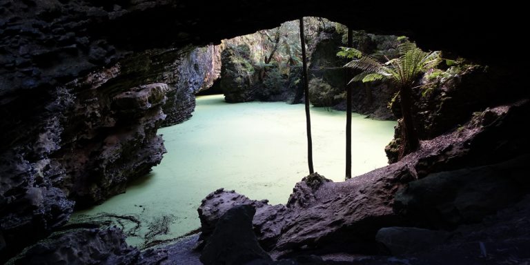
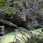
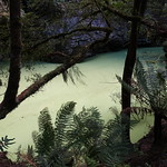
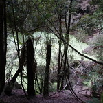
Trowutta Arch is a geological feature south of Smithton, Tasmania, Australia. It is a natural arch eroded out of limestone. A walking track leads to the arch and an adjacent flooded sinkhole.
Getting there
Trowutta Arch was a long way from most of Tasmania. From anywhere not already on the west coast, it meant driving:
- West along the Bass Highway
- South through Edith Creek
- East onto Trowutta Road and Reid’s Road
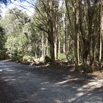
- South onto Reynold’s Road for 3 kilometres (unsealed)
- East onto Gun Road for 1.3 kilometres (unsealed)
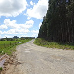
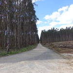
These roads passed through some scenic country, but each was progressively narrower and slower to drive on.
Trowutta Road and Reid’s Road were part of the Tarkine Drive, which looped past several other features of the Tarkine.
Track
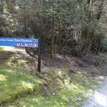
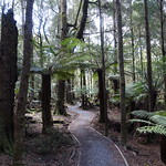
Parks & Wildlife upgraded the walking track here in 2017. The work was evident, with a solid gravel surface. It was level most of the way to the arch, with a single short descent of about 20 steps. While almost any walker could reach the arch and look through it, fully exploring the area around the arch and sinkhole required climbing down and then up the sloping limestone surface.
The Arch and Sinkhole
The only problem with Trowutta Arch was that no single viewpoint allowed the walker to take in the enormous volume of rock forming the arch and surrounds.
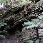
The limestone surface of the arch had eroded into fantastic lumps and layers.
Plants
Rainforest surrounded the entire length of the track. It was full of soft treeferns, myrtle beech and the occasional celery-top pine. The myrtles grew on and around the treeferns, and almost any other plant was growing on live or dead myrtles.
A distinct feature of the local myrtles was that they often had roots growing above ground level.
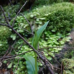
A few greenhood orchids (Pterostylis sp.) were flowering during our visit in early October.
Fungi
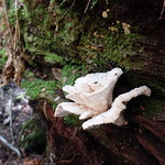
Fungi were hard at work cleaning up fallen branches and entire dead trees. Brown brackets were also common on both living and dead tree trunks.
Animals
The only animals in evidence were a lively population of Sugden’s Flatworms (Fletchamia sugdeni). Documentation on the sinkhole said it contained some small invertebrates, but the dark water would have made these hard to spot even without the leafy covering.
Facilities
| Latest visit | 6th October 2018 |
|---|---|
| Road | Unsealed for 4.3 kilometres of Reynold’s Road and Gun Road |
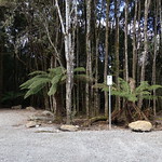
| Parking | Large with a designated long vehicle turning circle, unsealed |
| Shelter | None |
| Toilets | None (Fire damage had closed the Milkshake Hills area to vehicles during our visit, meaning the nearest toilets were at Julius River and back in Smithton) |
Opinions
Ambler
Walked 1.4 kilometres in 1 hour and 5 minutes. Enjoyed the rainforest, and was very impressed by the arch. Scrambled up the side path to walk around the sinkhole, but did not find anything there to justify the effort.
Regretted spending so long here because there was not time to also walk to Lake Chisholm.
Walking Stick
The track was excellent until just near the arch (but still out of sight of it) when the steps appeared. I found them uneven and awkward. However, it was a pleasant walk through open rainforest to that point, and a seat was provided for those who chose to wait rather than risk the steps down.
Should I visit?
Trowutta Arch is an astounding natural feature, and the walking track is very accessible. However, you cannot drive there and back in a day from anywhere east of Burnie.
If you are staying in northwest Tasmania, set aside a day to go to Trowutta Arch and the other sights of the Tarkine Drive. If you have a particular interest in geology in general, or sinkholes in particular, plan a stay in the northwest so you can visit it.
References
Parks & Wildlife Service Tasmania – Improved access to two of the North-west’s natural wonders
StepScape – Trowutta Arch walk
