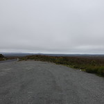
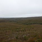
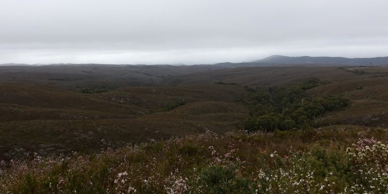
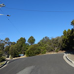
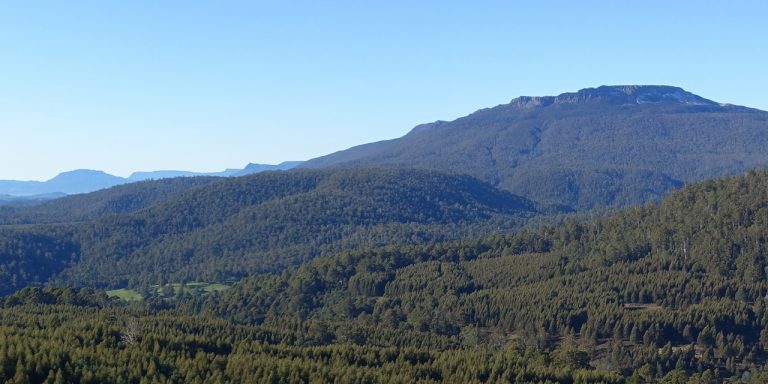
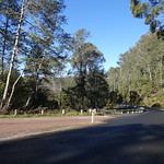
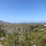
The Whaleback Lookout allows views over the hills of western Tasmania. It is a very short walk of about 120 metres from a car park on the Pieman Road.
Getting there
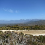
The Whaleback Lookout allows views over the hills of western Tasmania. It is a very short walk of about 120 metres from a car park on the Pieman Road.
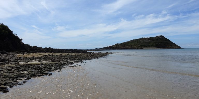
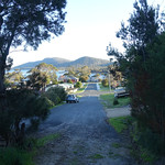
Tomahawk Point is a coastal feature near Tomahawk, Tasmania, Australia. A short walk leads from Tomahawk to Tomahawk Point.
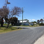
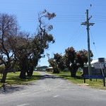

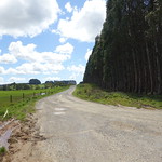
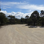
This part of Tasmania could use some more creative nomenclature: Tomahawk Road led to Tomahawk, where we parked near Tomahawk Beach and walked across the Tomahawk River to reach Tomahawk Point and look at Tomahawk Island.
Tomahawk Road led north off Waterhouse Road. It took 10 minutes to drive from there into Tomahawk. Once there, the car park for Tomahawk Point was a left turn onto Morgan Esplanade, and then another left turn to the car park.
All roads were sealed until the final 200 metres of Morgan Esplanade. Drivers wishing to avoid any gravel could easily park there and walk the additional distance.
Continue reading “Walking to Tomahawk Point, Tasmania”
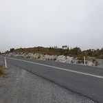
Sumac Lookout is a view over the Arthur River in northwest Tasmania, Australia.
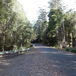
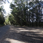
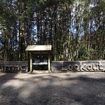
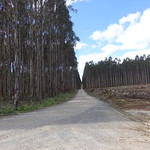
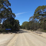
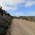
Sumac Lookout was on Sumac Road. It was about 1.7 kilometres from Kanunnah Bridge over the Arthur River, and 7.3 kilometres from the Julius River car park (which is also where the nearest toilets were). Sumac Road was sealed here, as was the entire main road for the Tarkine Drive.
The car park was a wide expanse of asphalt on the northeast side of Sumac Road. A large carved wooden sign made it difficult to miss. The road was otherwise narrow, and drivers who missed the car park could have difficulty turning around.
Continue reading “The View from Sumac Lookout”
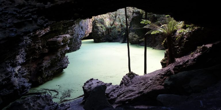
Trowutta Arch is a geological feature south of Smithton, Tasmania, Australia. It is a natural arch eroded out of limestone. A walking track leads to the arch and an adjacent flooded sinkhole.
Trowutta Arch was a long way from most of Tasmania. From anywhere not already on the west coast, it meant driving:
These roads passed through some scenic country, but each was progressively narrower and slower to drive on.
Trowutta Road and Reid’s Road were part of the Tarkine Drive, which looped past several other features of the Tarkine.
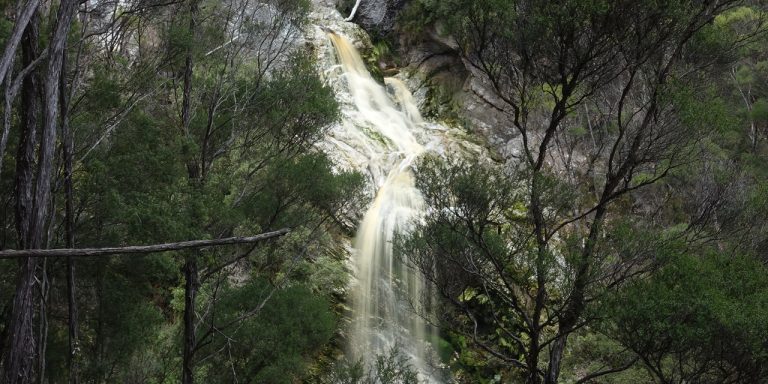
Detention Falls form on the Detention River, near Wynyard, Tasmania, Australia. A walking track leads to two views of the falls.
Older books that mention this walk may refer to a lookout platform. Parks & Wildlife engineers declared the lookout unsafe in 2008, and later dismantled it. A Severe Hazard Area sign near the start of the walk advised against proceeding on the track at all. As the sign said, continue on the walk at your own risk and taking your own responsibility.
This walk also passes through farm gates and paddocks. Take care around the electric fences and take no action to make landowners regret having a walking track through their property.
From the Bass Highway, the best route to Detention Falls was to turn south onto Myalla Road. This reached an intersection with Hawley’s Road. Hawley’s Road was unsealed for its two kilometre length, which ended in patch of gravel for parking cars and a gate labelled “Falls Track”. There were also two private farm driveways, both labelled to make it clear that they were not the way to the falls.
Continue reading “Walking to Detention Falls”
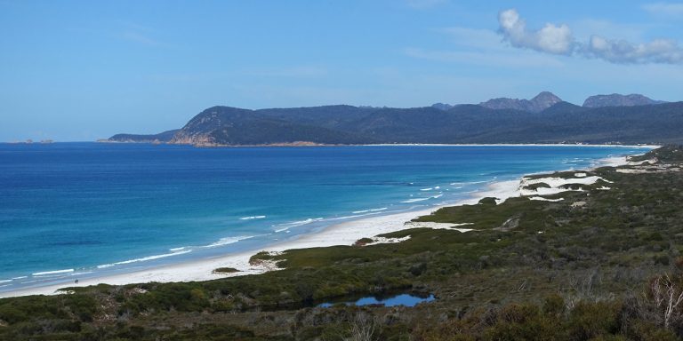
The Friendly Beaches are a long expanse of beach in Tasmania, Australia. They are just north of the famed Freycinet Peninsula on Tasmania’s East Coast. A scenic lookout overlooks the beaches.
The Friendly Beaches lie within the Freyincet National Park, so visitors will need a current National Parks Pass.
The access to Friendly Beaches was from Cole’s Bay Road, which also led to Freycinet Peninsula. Friendly Beaches Road turned east off Cole’s Bay Road, then divided after about 1.9 kilometres. North (left) from the fork passed the Friendly Beaches Scenic Lookout.
Friendly Beaches did not have extravagant amenities at the time of our visit in September 2016. All of Friendly Beaches Road was unsealed, and the only facilities were toilets without running water at each end of the road. However, Friendly Beaches also experienced a fraction of the crowds that flocked to Freycinet Peninsula.
Continue reading “Walking to the Friendly Beaches Scenic Lookout”
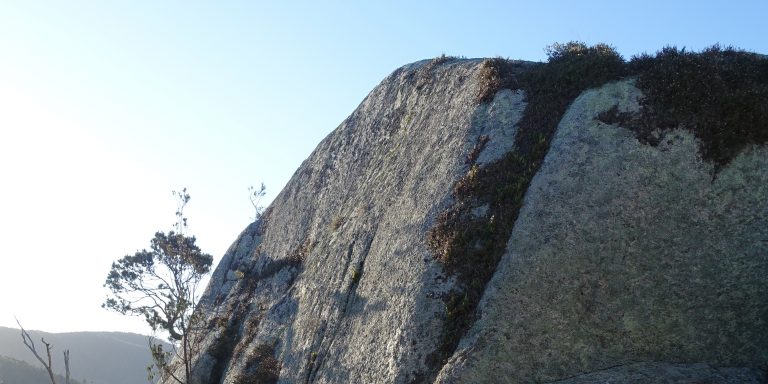
Lookout Rock is a granite outcrop within the town of Bicheno, Tasmania, Australia. A short loop walk circles the rock.
There was no really good road to Bicheno from the rest of Tasmania. The logical drive from Hobart would be along the Tasman Highway up the east coast. From Launceston it would be fastest to drive south to Campbell Town and east past Lake Leake, but might be prettier to drive through Fingal and St Mary’s.
Once in Bicheno, the simplest place to start the walk from was from the turning circle at the east end of Morrison Street. Morrison Street led directly off Burgess Street, which was part of the Tasman Highway as it passed through Bicheno.
An alternative car park was at the north end of Little Street, although there was less space there.
All road approaches to Lookout Rock were sealed.
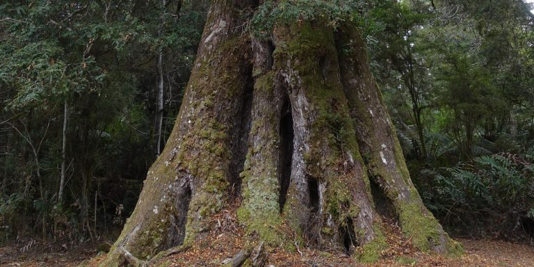
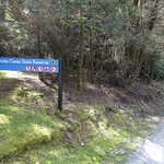
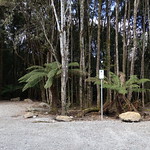
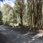
The Weldborough Pass Rainforest Walk is a short bushwalk in northeast Tasmania, Australia. It is an accessible way to see the myrtles and treeferns that make Tasmania’s cool temperate rainforest so distinctive.
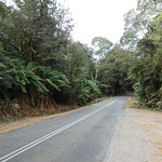
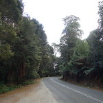
Navigating in the general direction of the walk was easy – just drive the Tasman Highway between Weldborough and the junction to Lottah Road. While the highway was sealed for its entire length, it had some tight curves. Respect any yellow signs recommending low speeds around hairpin bends, even if the recommended speed is as low as 25 km/h.
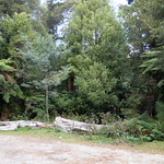
The car park for the walk was on the south side of the highway. Signs in both directions warned of “Weldborough Pass Rainforest Walk 200m,” but it would still be easy to miss.
Continue reading “Walking the Weldborough Pass Rainforest Walk”
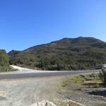
Tasmania’s Mersey Valley is a pleasant green expanse in the north of the state. The Mersey Valley Oliver’s Road Scenic Lookout offers views from the western end of the valley.
The lookout was, helpfully enough, on the side of Oliver’s Road. This road was sealed but had many tight bends. Allow plenty of time for driving along it. The lookout itself was marked by signs but could be easily missed. Pay attention after driving past the junction to Lemonthyme Road (if travelling south) or Old Gad’s Hill Road (if travelling north).
The car park was a patch of gravel next to Oliver’s Road.
Continue reading “The view from the Mersey Valley Oliver’s Road Scenic Lookout”
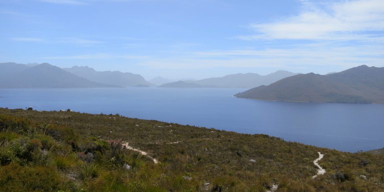
Southwest Tasmania is famous for its rugged landscape. Hardy bushwalkers recommend walking it for days for the best experience, but you can catch a glimpse from your car if you drive to Red Knoll, on the southern edge of Lake Pedder.

Red Knoll lies within the Southwest National Park, so visitors will need a current National Parks Pass.
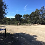
As of January 2014, there was no place to buy petrol southwest of the town of Maydena. From there, the drive was along Gordon River Road for 31 winding kilometres followed by turn south onto Scotts then a turn onto Scotts Peak Road and 38 kilometres from there.
All of these roads were built to admit construction vehicles for dams and power stations. They were wide, solid and had smooth bends. However, the entire length of Scotts Peak Road was unsealed.