Walking to Tomahawk Point, Tasmania

Photograph of beach with rocky point on the left and small island on the right.

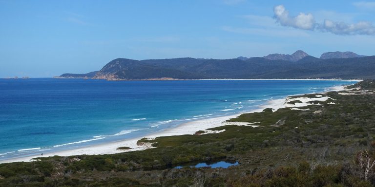
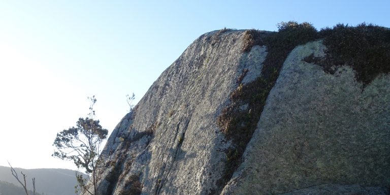
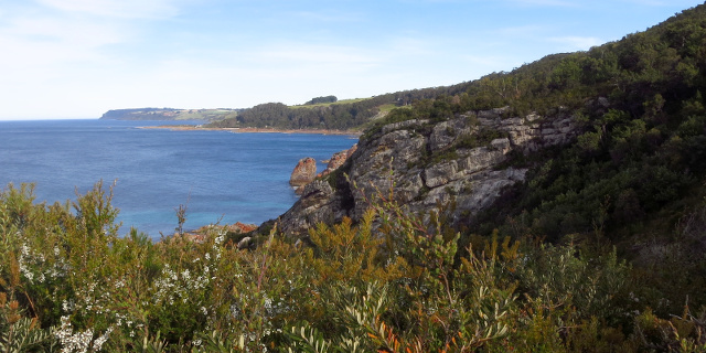
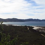
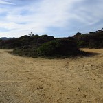
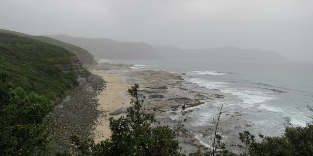
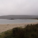
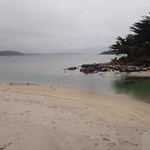
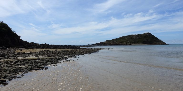
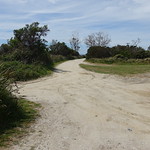
Tomahawk Point is a coastal feature near Tomahawk, Tasmania, Australia. A short walk leads from Tomahawk to Tomahawk Point.

Getting there

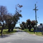
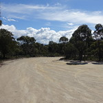
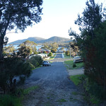
This part of Tasmania could use some more creative nomenclature: Tomahawk Road led to Tomahawk, where we parked near Tomahawk Beach and walked across the Tomahawk River to reach Tomahawk Point and look at Tomahawk Island.

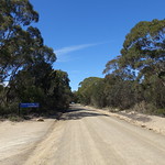
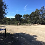
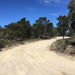
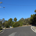
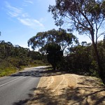
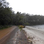
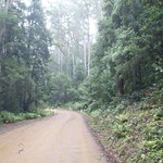
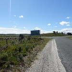
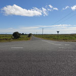
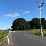
Tomahawk Road led north off Waterhouse Road. It took 10 minutes to drive from there into Tomahawk. Once there, the car park for Tomahawk Point was a left turn onto Morgan Esplanade, and then another left turn to the car park.

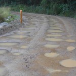
All roads were sealed until the final 200 metres of Morgan Esplanade. Drivers wishing to avoid any gravel could easily park there and walk the additional distance.
Continue reading “Walking to Tomahawk Point, Tasmania”

Walking to the Friendly Beaches Scenic Lookout

Photograph of long stretch of beach ending in a rocky point.

The Friendly Beaches are a long expanse of beach in Tasmania, Australia. They are just north of the famed Freycinet Peninsula on Tasmania’s East Coast. A scenic lookout overlooks the beaches.

Getting there

The Friendly Beaches lie within the Freyincet National Park, so visitors will need a current National Parks Pass.

The access to Friendly Beaches was from Cole’s Bay Road, which also led to Freycinet Peninsula. Friendly Beaches Road turned east off Cole’s Bay Road, then divided after about 1.9 kilometres. North (left) from the fork passed the Friendly Beaches Scenic Lookout.

Friendly Beaches did not have extravagant amenities at the time of our visit in September 2016. All of Friendly Beaches Road was unsealed, and the only facilities were toilets without running water at each end of the road. However, Friendly Beaches also experienced a fraction of the crowds that flocked to Freycinet Peninsula.

Continue reading “Walking to the Friendly Beaches Scenic Lookout”

Walking around the Bicheno Lookout Rock

Photograph of granite rock outcrop with occasional plants growing on it.

Lookout Rock is a granite outcrop within the town of Bicheno, Tasmania, Australia. A short loop walk circles the rock.

Getting there

There was no really good road to Bicheno from the rest of Tasmania. The logical drive from Hobart would be along the Tasman Highway up the east coast. From Launceston it would be fastest to drive south to Campbell Town and east past Lake Leake, but might be prettier to drive through Fingal and St Mary’s.

Once in Bicheno, the simplest place to start the walk from was from the turning circle at the east end of Morrison Street. Morrison Street led directly off Burgess Street, which was part of the Tasman Highway as it passed through Bicheno.

An alternative car park was at the north end of Little Street, although there was less space there.

All road approaches to Lookout Rock were sealed.

Continue reading “Walking around the Bicheno Lookout Rock”

Walking Postmans Track, Sisters Beach

Photograph of coastal cliffs.

Postmans Track is a walking track along the north coast of Tasmania, Australia. In the early days of the coastal towns of Burnie and Stanley, this track was the shortest land route between the two. It was only suitable for people on foot or on horseback.

The “Postmans Track” seen here was a short segment in the middle of that original route, passing along cliffs at the eastern edge of Rocky Cape National Park.

Getting there

Postmans Track lies within part of the Rocky Cape National Park, so visitors will need a current National Parks Pass.

The route to both ends of the track began by driving along the Bass Highway, turning north onto Port Road, then following Sisters Beach Road after Port Road diverted to Boat Harbour. All of these roads were sealed.

The car park for the southern end of the track was on Sisters Beach Road itself. The car park for the northern end of the track was on Sisters Beach. The road to this car park was unsealed, with large ruts that would be inconvenient if filled with water. Drivers wishing to avoid this could park on Honeysuckle Avenue and walk an additional 1.6 kilometres along Sisters Beach.

Continue reading “Walking Postmans Track, Sisters Beach”

Walking to South Cape Bay

Photograph of coastal cliffs with waves breaking on rocky foreshore.

South Cape Bay lies at the southern tip of Tasmania, bordering on the Southern Ocean. It has views of South East Cape, the most southern point of all. A walking track runs from Cockle Creek to South Cape Bay. This track is one of Tasmania’s Great Short Walks.

Getting there

South Cape Bay lies within the Southwest National Park, so visitors will need a current National Parks Pass.

The road south to Cockle Creek was long and winding. Sections were unsealed, including everything south of Ida Bay. For residents of Hobart, the 148 kilometre distance will take a minimum of two hours’ driving time one way. For anyone farther north, add the time needed to drive into and through Hobart.

Continue reading “Walking to South Cape Bay”