The view from Red Knoll Lookout

Photograph of mountains surrounding artificial lake.

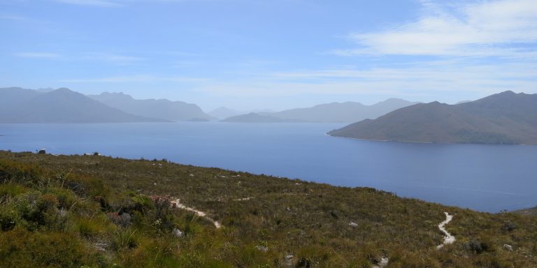
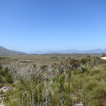
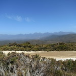
Southwest Tasmania is famous for its rugged landscape. Hardy bushwalkers recommend walking it for days for the best experience, but you can catch a glimpse from your car if you drive to Red Knoll, on the southern edge of Lake Pedder.

Getting there

Red Knoll lies within the Southwest National Park, so visitors will need a current National Parks Pass.

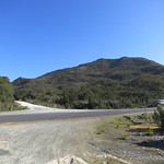
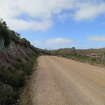
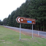
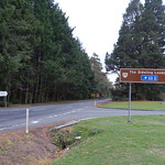
As of January 2014, there was no place to buy petrol southwest of the town of Maydena. From there, the drive was along Gordon River Road for 31 winding kilometres followed by turn south onto Scotts then a turn onto Scotts Peak Road and 38 kilometres from there.

All of these roads were built to admit construction vehicles for dams and power stations. They were wide, solid and had smooth bends. However, the entire length of Scotts Peak Road was unsealed.

Continue reading “The view from Red Knoll Lookout”

The view from The Sideling Lookout

Photograph of low mountain tinted pink by sunset.

The Tasman Highway connects Hobart to Launceston in a wide loop around Tasmania’s east coast. Between Scottsdale and Launceston it winds over the Sideling Range and is called “The Sideling”. This road is not the easiest to drive, but from the north-east edge of the ridge a car park and lookout offer impressive views over Scottsdale and Mount Stronach.

Getting there

The car park was hard to miss while driving from either direction. It contained one of the few patches of grass in a road otherwise surrounded by treeferns, plantations or steep drops. It was on the east side of the road, so on the right while driving from Launceston and on the left while driving from Scottsdale.

Continue reading “The view from The Sideling Lookout”