Update – 21st December 2015
Read the comments on this post for details on a new track to the Anchor Stampers site.
Original Introduction
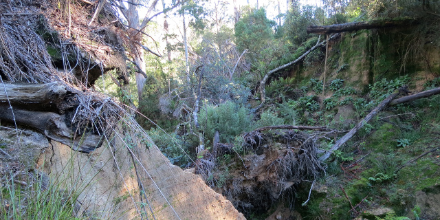
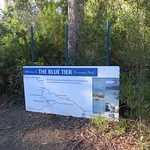
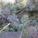
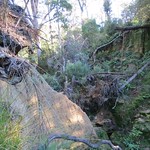
The Anchor Stampers is a piece of old tin mining equipment once used at the Anchor Tin Mine on the side of Blue Tier, Tasmania, Australia. A 20 minute walking track used to visit the site, but in April 2011 floods destroyed a dam that the track crossed. The photographs in this post show the damage state of the track in May 2013. As of April 2015 the track remained closed, with repairs under discussion.
Getting there
The Anchor Stampers site was on the west side of Anchor Road. This road was unsealed for its entire length, and became progressively narrower and rougher as it continued north. The Anchor Stampers track was near the north end. Parking for the Anchor Stampers was on the side of Anchor Road and easy to miss.
Track
Facilities
| Latest visit | 19th May 2013 |
|---|---|
| Road | Unsealed, narrow |
| Parking | Small |
| Shelter | No |
| Toilets | No |
Should I visit?
No. Not unless you are transporting a load of gravel, cement and bridge parts.
References
Forestry Tasmania – Forest visitor sites closed indefinitely (12th April 2011)

There has been a new walking trail cut through to the Stampers past the water wheel site. It is a sign posted and clearly marked track through picturesque forest starting beside the Groom River bridge.
Thank you Luke Webster, we look forward to walking the new track on our next visit to Blue Tier.