Walking the Adamsons Tramway Track

Photograph of rainforest with long fallen mossy tree trunks.

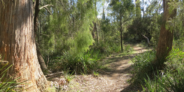
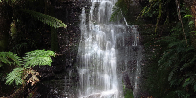
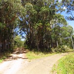
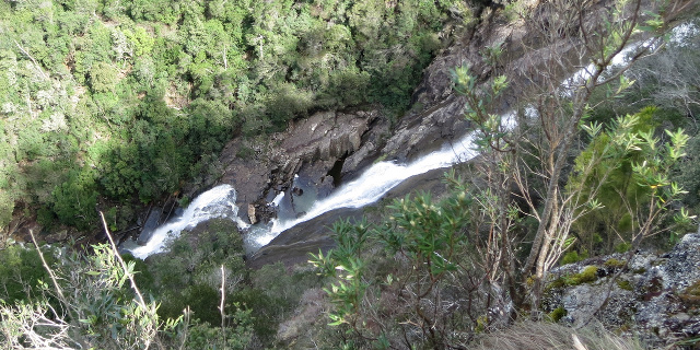
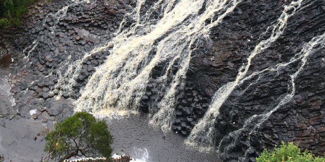
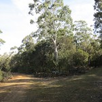
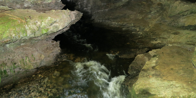
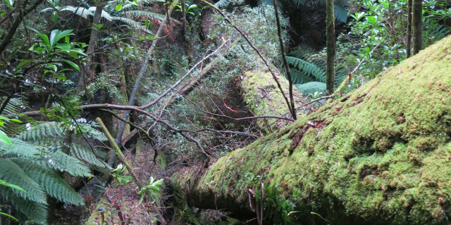
The Adamsons Tramway Track is a short walk near Hastings, Tasmania, Australia. It overlaps with the much longer Adamsons Peak Track. The tramway portion passes the remains of various old forestry constructions.

Getting there

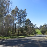
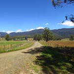
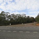
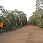
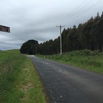
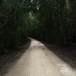
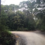
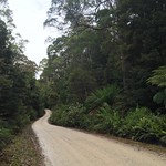
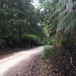
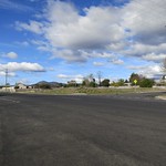
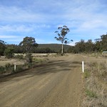
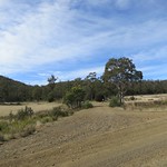
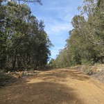
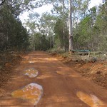
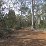
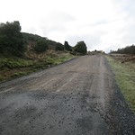
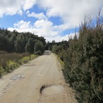
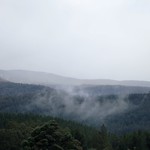
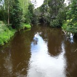
This track, like most in Tasmania’s far south, was not easy to reach. It began on the Peak Rivulet Road, west of Dover. We began even further south, at Hastings Caves, which meant a long drive north on unsealed forestry roads. The narrowest of these was Creekton Road where it turned north off Hastings Caves Road. As the roads continued north, they became wider and smoother.

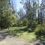
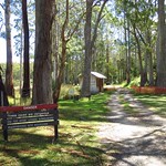
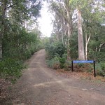
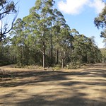
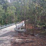
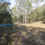
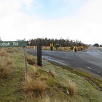
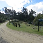
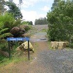
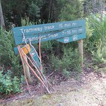
The “car park” was a small flat patch at the side of Peak Rivulet Road, next to the sign shown above.

Continue reading “Walking the Adamsons Tramway Track”

Walking around Merthyr Park, Tasmania

Photograph of track meandering between eucalypts and cherry ballart trees.

Merthyr Park is a reserve near Lilydale, Tasmania, Australia. A gift from Lord Merthyr, of Saundersfoot in Wales, it was once a popular picnic area, was a rubbish tip from 1965 to 1995, and since then has been under ongoing rehabilitation by the Lilydale Landcare Association. Two walking tracks – the Large Circuit Track and the Small Circuit Track – allow visitors to see the park.

The Merthyr Park in Tasmania should not be confused with the multiple other Merthyr Parks in Australia and in Wales.

Getting there

The only road to Merthyr Park was the Second River Road, which passed through the middle of the park. From most of Tasmania, this was best accessed from Golconda Road, just north of Lilydale. The car park was at the east end of the Merthyr Park, opposite the Lilydale Waste Transfer Station.

Continue reading “Walking around Merthyr Park, Tasmania”

Walking in Honeycomb Cave, Mole Creek

The karst landscape of Tasmania’s Mole Creek area is famed for its caves. One of the most accessible is Honeycomb Cave.

Caves are not safe places, and the open nature of Honeycomb Cave can be deceptive.  In June 2015 a visitor to Honeycomb Cave suffered a serious fall.  Watch the ground and do not step anywhere you cannot see clearly.  Do not go out of sight of daylight if you are not a trained and equipped caver.

Getting there

Continue reading “Walking in Honeycomb Cave, Mole Creek”

Walking to Westmorland Falls

Photograph of waterfall between tree ferns.

Westmorland Falls flow off the Great Western Tiers, south of Mole Creek, Tasmania, Australia. The falls are short but picturesque and surrounded by rainforest.

Parts of the walking track to the falls were destroyed by floods in January 2011. Replacement work in 2013 included a new bridge and lookout platform. The bridge survived further floods in 2016 but the lookout platform did not. A replacement platform was built further downstream.

These photographs show the state of the track as it was in January 2015. As of January 2017, the repaired track was about 1.8 kilometres long (3.6 kilometres return).

Getting there

Westmorland Falls lie within part of the Mole Creek Karst National Park, so visitors will need a current National Parks Pass.

The simplest way to navigate to the falls was to drive to Mole Creek, then turn south onto Caveside Road (sealed). We turned west onto Wet Cave Road (unsealed), south at Honeycomb Cave, and then it was a short drive uphill to the Westmorland Falls car park.

If you are approaching from Launceston and are familiar with the area, turning onto Caveside Road at Chudleigh may be more scenic.

Continue reading “Walking to Westmorland Falls”

Walking to Lost Falls, Tasmania

Photograph of water flowing down sloping rock in a gorge.

There are many places titled “Lost Falls” in the world. The ones in Tasmania are quite easy to find, flowing off Wingys Tier on the east coast. They are also quite accessible, being an easy drive from most parts of the state followed by a very short walk to the lookout.

Getting there

From almost anywhere in Tasmania, the best route to Lost Falls started on Lake Leake Road (sealed). From there, we turned south onto McKays Road. About three kilometres along this road, we turned east at the sign that said “Falls”, and drove for another three kilometres to the Lost Falls car park.

Continue reading “Walking to Lost Falls, Tasmania”

Walking to Dip Falls

Photograph of water flowing across a sloping surface of basalt columns.

Dip Falls are found in the Dip River Forest Reserve, near Mawbanna in the northwest of Tasmania, Australia. They flow across two layers of black basalt columns, which give the falls a unique appearance among the hundreds of Tasmanian waterfalls.

Update

Parks & Wildlife upgraded the steps to Dip Falls in July 2017. The report below no longer describes the track accurately.

Four short walks lead to the base of the falls, a viewing platform, an old sawmill boiler and the “Big Tree”. While the base of the falls involves a long flight of steps, the other three walks would admit wheelchairs with some effort.

The “Big Tree” in the Dip River Forest Reserve should not be confused with the “Big Tree” and “Bigger Tree” in the Styx Big Tree Reserve in Tasmania’s south.

Getting there

The route to Dip Falls began with turning off the Bass Highway onto Mawbanna Road, south and east of Stanley. The Mawbanna Road wound around farms and hills; it was sealed but not fast or easy to drive, especially when a loose cow wandered onto the road.

After about 24 kilometres, Mawbanna Road reached a right turn onto Dip Falls Road. This was unsealed, but wide and in good condition, and only two kilometres remained to Dip Falls. The Big Tree was another kilometre further on.

Continue reading “Walking to Dip Falls”

What’s new in SepiaScape and SeasonScape 3.1?

SepiaScape screenshot showing map and picture list side-by-side on an iPhone 6 screen.

Going to the ⓘ screen no longer crashes on iOS 8 or later. It also makes better use of the larger screens on the iPhone 6 and iPhone 6 Plus.

(If you are wondering what they are, here is the page about SepiaScape. SeasonScape no longer exists as a separate app; all its text and pictures are now part of SepiaScape.)

Continue reading “What’s new in SepiaScape and SeasonScape 3.1?”

Walking to Hardings Falls

Photograph of rocky gorge containing a placid green pool.

Hardings Falls lie on the Swan River, in the eastern part of Tasmania, Australia. A long drive and a moderate walk lead to river, a gorge and the falls.

Getting there

From most of Tasmania, the logical route to Hardings Falls would start at Avoca, follow Royal George Road through Royal George, turn left onto McKays Road and then right towards the falls.

Each of these roads was progressively less maintained. Our two-wheel-drive car reached the falls car park, but the last few kilometres required slow and careful driving.

Continue reading “Walking to Hardings Falls”

Walking the Wellington Creek Circuit, Blue Tier / meenamatta

Photograph of wide pool in creek. The pool is reflecting nearby trees.

Blue Tier in north-east Tasmania was once the scene of extensive tin mining. In 1958 it was made a forest reserve, and in 1997 the reserve was extended. It contains a number of walking tracks. One of those tracks, the Wellington Creek Circuit, is described here.

Getting there

Blue Tier was not easy to drive to. The Tasman Highway was an obvious starting point, and the only route to the tier itself was Poimena Road. To get from the former to the latter, three routes were available, all unsealed. The best of these was the east end of Lottah Road. Anchor Road was steeper and windier, and the west end of Lottah Road was severely eroded. It was still possible to take a two-wheel-drive car along the west end of Lottah Road, but not recommended. It is the shortest route from Hobart or Launceston to Blue Tier, but driving to the east end on Lottah Road may be faster and was definitely safer.

All roads had also been blocked by fallen trees during severe storms in the winter of 2014. The roads had been cleared by the time of our visit, but often only by cutting gaps or by dragging the tree aside far enough to admit one car width through the gap.

Continue reading “Walking the Wellington Creek Circuit, Blue Tier / meenamatta”

Walking to Junee Cave

Photograph of small river flowing out of cave mouth.

In March 2015 The Parks & Wildlife Service Tasmania reported that this track was closed due to damage to the bridge at the start of the walk. Since then, Environment Tasmania has built a new track to make it accessible again.

Junee Cave is a short distance from the town of Maydena, Tasmania, Australia. While only trained cave divers should enter the cave, all can enjoy a short walk along the Junee River to the cave mouth.

Getting there

The road to Maydena was easy to find, although the Gordon River Road beyond Westerway wound around a lot. From Maydena, Junee Road branched north across the Tyrenna River. This soon turned into a single-lane unsealed road. This kept fairly level and was no trouble for a two-wheel-drive car. Unfortunately it stayed level by winding tightly around the hills. It would not admit large vehicles, or drivers concerned finding a vehicle driving out as they drove in, and possibly needing to reverse to make room for passing.

Continue reading “Walking to Junee Cave”