Walking to South Cape Bay

Photograph of coastal cliffs with waves breaking on rocky foreshore.

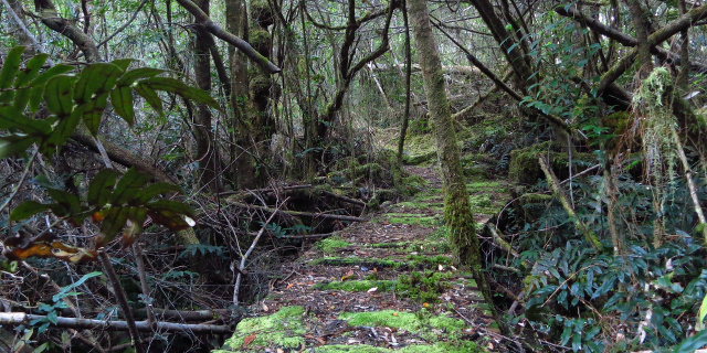
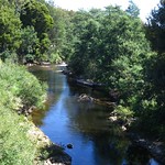
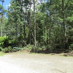
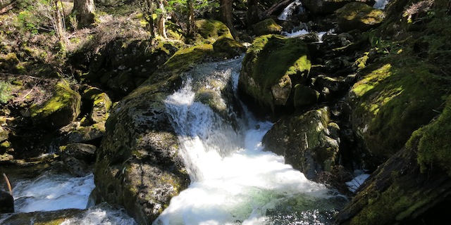
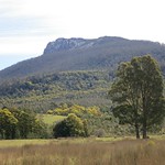
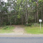
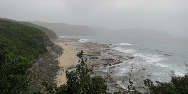
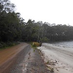
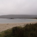
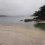
South Cape Bay lies at the southern tip of Tasmania, bordering on the Southern Ocean. It has views of South East Cape, the most southern point of all. A walking track runs from Cockle Creek to South Cape Bay. This track is one of Tasmania’s Great Short Walks.

Getting there

South Cape Bay lies within the Southwest National Park, so visitors will need a current National Parks Pass.

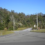
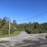
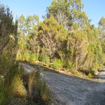
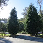
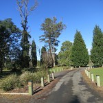
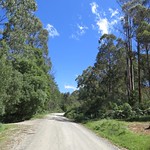
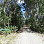
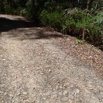
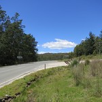
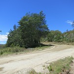
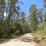
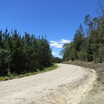
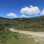
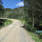
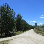
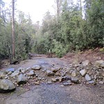
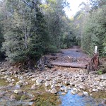
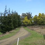
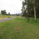
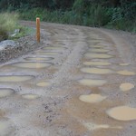
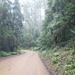
The road south to Cockle Creek was long and winding. Sections were unsealed, including everything south of Ida Bay. For residents of Hobart, the 148 kilometre distance will take a minimum of two hours’ driving time one way. For anyone farther north, add the time needed to drive into and through Hobart.

Continue reading “Walking to South Cape Bay”

Walking along Jack’s Track, Strathgordon

Photograph of rainforest with boardwalk winding through it. The boardwalk is covered in moss.

Jack’s Track (appearing on some signs as “Forest Trail”) is a short walk in the village of Strathgordon, Tasmania, Australia. It offers a small sample of the rainforest for which Tasmania’s south-west is famous.

Getting there

For walkers not possessing a seaplane, travel to Strathgordon involves driving most of the length of Gordon River Road. This was wide and sealed, as it had been built for the trucks that carried machinery to the power station. However, it was also long and twisty. When planning your journey, do not assume that you will be able to drive at highway speeds anywhere beyond the intersection with Scotts Peak Road.

As of 2014, the last public petrol station was in Maydena. Be sure to fill up there.

Once in Strathgordon, both ends of the track are a few hundred metres away. Park at your accommodation (if staying overnight), at the chalet (if eating there) or at the northern end of the track on Spring Street. Do not park at the southern end of the track on Gordon River Road.

Continue reading “Walking along Jack’s Track, Strathgordon”

Walking to Lilydale Falls

Short wide waterfall, showing streaks due to long exposure.

Lilydale Falls flow down the Second River, near Lilydale, Tasmania, Australia. There are two falls accessible by a short walk along a well-made track.

Getting There

The falls car park was a short drive from Launceston, just north of the town of Lilydale. The road was sealed all the way up to and including the car park. A sign a few hundred metres before the turnoff to the car park would have been helpful. The turnoff itself was clearly marked by large signs.

Continue reading “Walking to Lilydale Falls”

Walking in Notley Fern Gorge

Notley Fern Gorge is a short distance northwest of Launceston, Tasmania, Australia. Gowan’s Creek flows through a small patch of rainforest, surrounded by moss, fungi and the eponymous ferns. A 1.5 kilometre walking track loops through the gorge.

The walking track crosses Gowan’s Creek on four bridges. Floods in August 2013 damaged these bridges and the track. The Parks & Wildlife Service repaired the track, replaced the bridges and re-opened the circuit in June 2014.

Getting there

For people living in or near of Launceston, this is one of the easiest walks to reach. From the West Tamar Highway, turn onto Bridgenorth Road then right onto Notley Gorge Road. When Notley Gorge Road meets Notley Hills Road, take the sharp left turn. This route is sealed up to and including the car park at the start of the walk.

From the north, Notley Hills Road is unsealed.

Continue reading “Walking in Notley Fern Gorge”

Walking along the Briseis Water Race

Walking track following trench through forest

The Briseis Water Race (sometimes described as “The Great Briseis Water Race” or just “The Great Briseis Race”) transported water from Ringarooma to the Briseis Tin Mine at Derby. Built between 1901 and 1902, it was an immense engineering effort for its time, covering 48 kilometres, employing 300 workers and costing £60,000.

Most of the race is on private land, overgrown or otherwise inaccessible; part is still in use to bring water to the Branxholm Reservoir. Fortunately an unused section of the race at the town of Branxholm has been set aside for a walking track.

Getting There

Driving to Branxholm from most parts of Tasmania is simple. However, it can be time-consuming due to the winding roads in its area. Once there, we turned south onto Donald Street. This became Ruby Flats Road, which was unsealed for about two kilometres to the car park.

Continue reading “Walking along the Briseis Water Race”

Walking around Mount Paris Dam

River flowing through hole in concrete dam wall

Mount Paris Dam sits on the Cascade River south of Derby, Tasmania. It was built as the Morning Star Dam, water source for a nearby tin mine of the same name. If it were filled, it would just be another medium-sized dam among many in Tasmania. However, in 1985 the Rivers and Waters Supply Commission intentionally holed the dam. With the dam now empty and the Cascade River running through the middle, it is a fascinating place to explore.

Getting There

Mount Paris Dam is just off Mount Paris Dam Road. This may be reached from the Tasman Highway at either Branxholm (to the west) or Weldborough (to the east). Branxholm is closer from Launceston or Hobart, but the distance driven on Mount Paris Dam Road is longer: 17 kilometres from Branxholm, or 6 kilometres from Weldborough.

Mount Paris Dam Road was an unsealed forestry road. We found it to be wide, solid and no trouble to drive on. Stay clear of the drainage ditches on the south side. The final few hundred metres to the car park were not as good; if your vehicle has a particularly low wheelbase, you may prefer to park on Mount Paris Dam Road and walk from there.

Continue reading “Walking around Mount Paris Dam”

Walking along Mother Cummings Rivulet

Water flowing around boulder into blue pool

Mother Cummings Rivulet flows out of the mountains southwest of Meander, Tasmania. Following the rivulet upstream leads to Smoko Falls, and eventually to Cummings Head. The track to Chasm Falls is also in the area.

Getting There

Drive to Meander, then turn south along Huntsman Road. Turn right onto Meander Falls Road. Avoid the bridge to Meander Falls; you are now on Smoko Road. Follow that to a small turning circle and a sign pointing to “Chasm Falls”, “Smoko Falls” and “Mother Cummings Peak”.

Continue reading “Walking along Mother Cummings Rivulet”

Walking to Tulampanga Alum Cliffs

Layered white cliffs above river flowing through gorge

The track to Tulampanga Alum Cliffs is one of Tasmania’s Great Short Walks. Less than an hour’s round trip takes you to a lookout where the Mersey River flows through a spectacular gorge.

Getting There

The car park is on Mersey Hill Road, a short distance east of Mole Creek. Mersey Hill Road is unsealed, but wide and solid. The route is clearly signposted.

Continue reading “Walking to Tulampanga Alum Cliffs”

Walking in Sensation Gorge Conservation Area

Distant forest and mountains seen from quarry

Update

As noted in the comments, it is possible to walk into Sensation Gorge itself but not from the quarry described here. To enter Sensation Gorge, start from either parking further west along Liena Road, or from Union Bridge Road.

Apart from its famed National Parks, Tasmania has hundreds of smaller Conservation Areas and other reserves. You can be driving along a road and see a car park, a sign saying “Sensation Gorge Conservation Area” and a track. You search for that name, and find a single line Parks & Wildlife Reserve Summary Report confirming its existence, and nothing else. (Many other sites claim to have information, but turn out to have nothing but the latitude and longitude, scraped from some existing map and displayed with advertisements.) The only way to find out more is to walk up the track – so we did.

Getting There

The car park is a short distance west of Mole Creek, on Liena Road. Look on the north side of the road for the “Sensation Gorge Conservation Area” sign.

Continue reading “Walking in Sensation Gorge Conservation Area”

Walking to Lobster Falls

Short, wide waterfall flowing into pool

Lobster Falls is comprised of two cascades in the Lobster Rivulet as it passes through the Gog Range, Tasmania, Australia.

Getting There

The good news: you can drive to the start of the Lobster Falls walking track without leaving a sealed road. It’s on the road between Deloraine and Chudleigh, within an hour’s drive of Launceston.

The bad news: the “car park” is a grassy patch next to the road, marked by a single signpost. Watch out for mud, especially if you’re visiting after rain to see the falls at their best.

Continue reading “Walking to Lobster Falls”