Walking to Lost Falls, Tasmania

Photograph of water flowing down sloping rock in a gorge.

There are many places titled “Lost Falls” in the world. The ones in Tasmania are quite easy to find, flowing off Wingys Tier on the east coast. They are also quite accessible, being an easy drive from most parts of the state followed by a very short walk to the lookout.

Getting there

From almost anywhere in Tasmania, the best route to Lost Falls started on Lake Leake Road (sealed). From there, we turned south onto McKays Road. About three kilometres along this road, we turned east at the sign that said “Falls”, and drove for another three kilometres to the Lost Falls car park.

Continue reading “Walking to Lost Falls, Tasmania”

Walking to Dip Falls

Photograph of water flowing across a sloping surface of basalt columns.

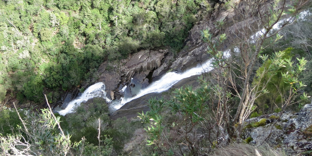
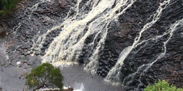
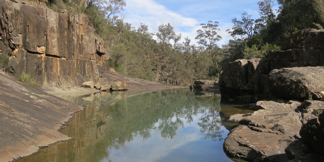
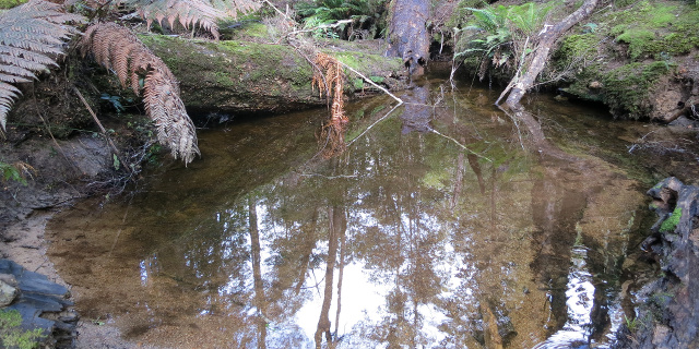
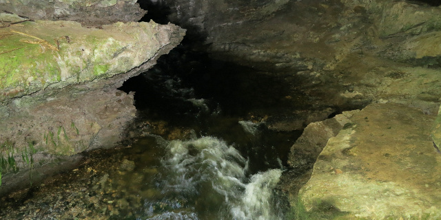
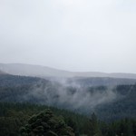
Dip Falls are found in the Dip River Forest Reserve, near Mawbanna in the northwest of Tasmania, Australia. They flow across two layers of black basalt columns, which give the falls a unique appearance among the hundreds of Tasmanian waterfalls.

Update

Parks & Wildlife upgraded the steps to Dip Falls in July 2017. The report below no longer describes the track accurately.

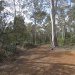
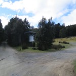
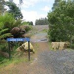
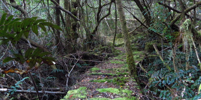
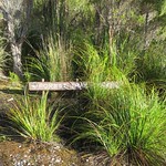
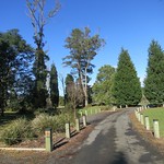
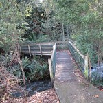
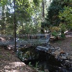
Four short walks lead to the base of the falls, a viewing platform, an old sawmill boiler and the “Big Tree”. While the base of the falls involves a long flight of steps, the other three walks would admit wheelchairs with some effort.

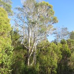
The “Big Tree” in the Dip River Forest Reserve should not be confused with the “Big Tree” and “Bigger Tree” in the Styx Big Tree Reserve in Tasmania’s south.

Getting there

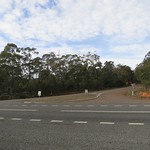
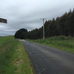
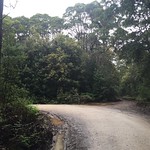
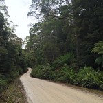
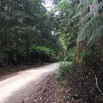
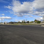
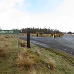
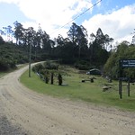
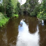
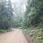
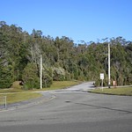
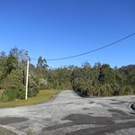
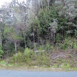
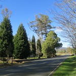
The route to Dip Falls began with turning off the Bass Highway onto Mawbanna Road, south and east of Stanley. The Mawbanna Road wound around farms and hills; it was sealed but not fast or easy to drive, especially when a loose cow wandered onto the road.

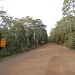
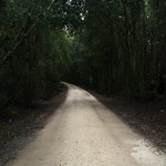
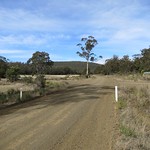
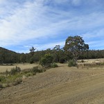
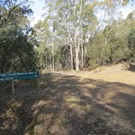
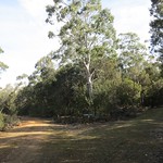
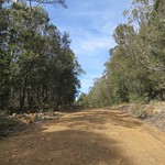
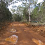
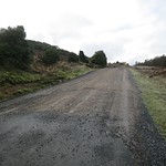
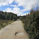
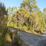
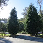
After about 24 kilometres, Mawbanna Road reached a right turn onto Dip Falls Road. This was unsealed, but wide and in good condition, and only two kilometres remained to Dip Falls. The Big Tree was another kilometre further on.

Continue reading “Walking to Dip Falls”

What’s new in PBPhonics 2.0?

PBPhonics screenshot showing microphone button in action.

The microphone is the big new feature.  We also adjusted the colours and layout.  These updates were released on the 19th of November 2014, for both PBPhonics 1 to 3 and PBPhonics 1 to 7.

(If you are wondering what PBPhonics is, you can find a description on the PBPhonics page.)

The microphone

Because iOS tries to protect you from inadvertent privacy breaches, apps that use your microphone must first ask permission.  So, the first time you launch PBPhonics after the 2.0 update, you will see this:

PBPhonics screenshot saying '"PBPhonics" Would Like to Access the Microphone.  PBPhonics will offer spoken word practice if you allow microphone access.'  Buttons offer 'Don't Allow' and 'OK'.

PBPhonics requesting microphone access on first launch.

Continue reading “What’s new in PBPhonics 2.0?”

What’s new in SepiaScape and SeasonScape 3.1?

SepiaScape screenshot showing map and picture list side-by-side on an iPhone 6 screen.

Going to the ⓘ screen no longer crashes on iOS 8 or later. It also makes better use of the larger screens on the iPhone 6 and iPhone 6 Plus.

(If you are wondering what they are, here is the page about SepiaScape. SeasonScape no longer exists as a separate app; all its text and pictures are now part of SepiaScape.)

Continue reading “What’s new in SepiaScape and SeasonScape 3.1?”

Walking to Hardings Falls

Photograph of rocky gorge containing a placid green pool.

Hardings Falls lie on the Swan River, in the eastern part of Tasmania, Australia. A long drive and a moderate walk lead to river, a gorge and the falls.

Getting there

From most of Tasmania, the logical route to Hardings Falls would start at Avoca, follow Royal George Road through Royal George, turn left onto McKays Road and then right towards the falls.

Each of these roads was progressively less maintained. Our two-wheel-drive car reached the falls car park, but the last few kilometres required slow and careful driving.

Continue reading “Walking to Hardings Falls”

Walking the Wellington Creek Circuit, Blue Tier / meenamatta

Photograph of wide pool in creek. The pool is reflecting nearby trees.

Blue Tier in north-east Tasmania was once the scene of extensive tin mining. In 1958 it was made a forest reserve, and in 1997 the reserve was extended. It contains a number of walking tracks. One of those tracks, the Wellington Creek Circuit, is described here.

Getting there

Blue Tier was not easy to drive to. The Tasman Highway was an obvious starting point, and the only route to the tier itself was Poimena Road. To get from the former to the latter, three routes were available, all unsealed. The best of these was the east end of Lottah Road. Anchor Road was steeper and windier, and the west end of Lottah Road was severely eroded. It was still possible to take a two-wheel-drive car along the west end of Lottah Road, but not recommended. It is the shortest route from Hobart or Launceston to Blue Tier, but driving to the east end on Lottah Road may be faster and was definitely safer.

All roads had also been blocked by fallen trees during severe storms in the winter of 2014. The roads had been cleared by the time of our visit, but often only by cutting gaps or by dragging the tree aside far enough to admit one car width through the gap.

Continue reading “Walking the Wellington Creek Circuit, Blue Tier / meenamatta”

Walking to Junee Cave

Photograph of small river flowing out of cave mouth.

In March 2015 The Parks & Wildlife Service Tasmania reported that this track was closed due to damage to the bridge at the start of the walk. Since then, Environment Tasmania has built a new track to make it accessible again.

Junee Cave is a short distance from the town of Maydena, Tasmania, Australia. While only trained cave divers should enter the cave, all can enjoy a short walk along the Junee River to the cave mouth.

Getting there

The road to Maydena was easy to find, although the Gordon River Road beyond Westerway wound around a lot. From Maydena, Junee Road branched north across the Tyrenna River. This soon turned into a single-lane unsealed road. This kept fairly level and was no trouble for a two-wheel-drive car. Unfortunately it stayed level by winding tightly around the hills. It would not admit large vehicles, or drivers concerned finding a vehicle driving out as they drove in, and possibly needing to reverse to make room for passing.

Continue reading “Walking to Junee Cave”

Walking to South Cape Bay

Photograph of coastal cliffs with waves breaking on rocky foreshore.

South Cape Bay lies at the southern tip of Tasmania, bordering on the Southern Ocean. It has views of South East Cape, the most southern point of all. A walking track runs from Cockle Creek to South Cape Bay. This track is one of Tasmania’s Great Short Walks.

Getting there

South Cape Bay lies within the Southwest National Park, so visitors will need a current National Parks Pass.

The road south to Cockle Creek was long and winding. Sections were unsealed, including everything south of Ida Bay. For residents of Hobart, the 148 kilometre distance will take a minimum of two hours’ driving time one way. For anyone farther north, add the time needed to drive into and through Hobart.

Continue reading “Walking to South Cape Bay”

Walking along Jack’s Track, Strathgordon

Photograph of rainforest with boardwalk winding through it. The boardwalk is covered in moss.

Jack’s Track (appearing on some signs as “Forest Trail”) is a short walk in the village of Strathgordon, Tasmania, Australia. It offers a small sample of the rainforest for which Tasmania’s south-west is famous.

Getting there

For walkers not possessing a seaplane, travel to Strathgordon involves driving most of the length of Gordon River Road. This was wide and sealed, as it had been built for the trucks that carried machinery to the power station. However, it was also long and twisty. When planning your journey, do not assume that you will be able to drive at highway speeds anywhere beyond the intersection with Scotts Peak Road.

As of 2014, the last public petrol station was in Maydena. Be sure to fill up there.

Once in Strathgordon, both ends of the track are a few hundred metres away. Park at your accommodation (if staying overnight), at the chalet (if eating there) or at the northern end of the track on Spring Street. Do not park at the southern end of the track on Gordon River Road.

Continue reading “Walking along Jack’s Track, Strathgordon”

Walking to Lilydale Falls

Short wide waterfall, showing streaks due to long exposure.

Lilydale Falls flow down the Second River, near Lilydale, Tasmania, Australia. There are two falls accessible by a short walk along a well-made track.

Getting There

The falls car park was a short drive from Launceston, just north of the town of Lilydale. The road was sealed all the way up to and including the car park. A sign a few hundred metres before the turnoff to the car park would have been helpful. The turnoff itself was clearly marked by large signs.

Continue reading “Walking to Lilydale Falls”