Walking to Detention Falls

Photograph of waterfall seen through trees.

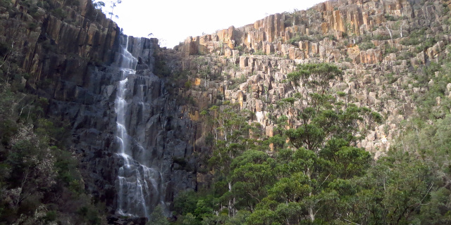
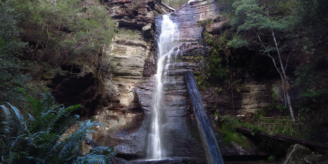
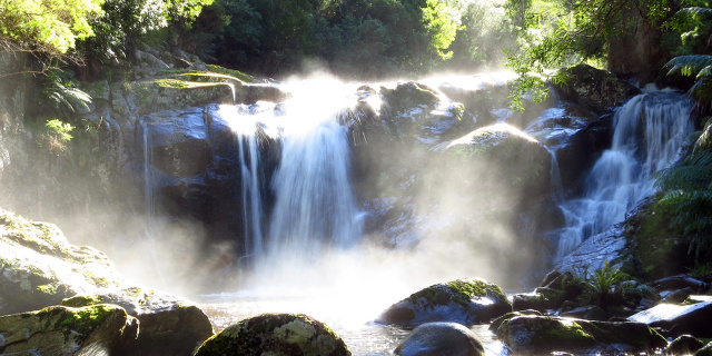
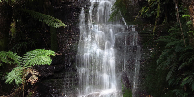
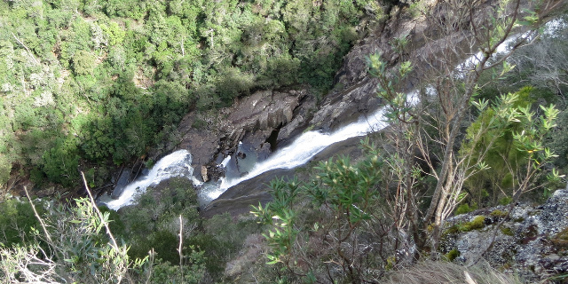
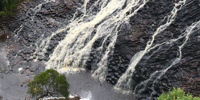
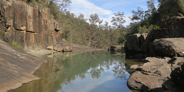
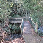
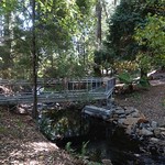
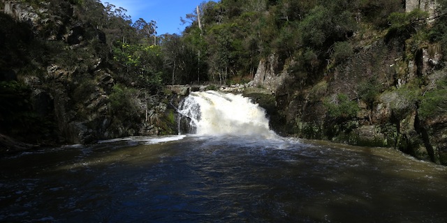
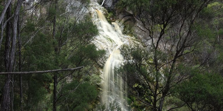
Detention Falls form on the Detention River, near Wynyard, Tasmania, Australia. A walking track leads to two views of the falls.

Older books that mention this walk may refer to a lookout platform. Parks & Wildlife engineers declared the lookout unsafe in 2008, and later dismantled it. A Severe Hazard Area sign near the start of the walk advised against proceeding on the track at all. As the sign said, continue on the walk at your own risk and taking your own responsibility.

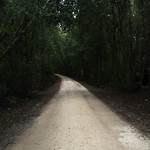
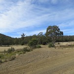
This walk also passes through farm gates and paddocks. Take care around the electric fences and take no action to make landowners regret having a walking track through their property.

Getting there

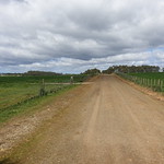
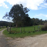
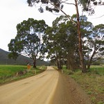
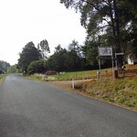
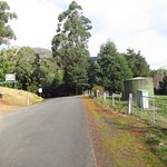
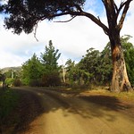
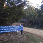
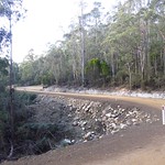
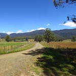
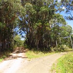
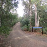
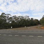
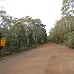
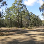
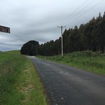
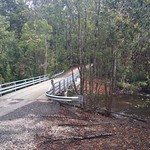
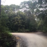
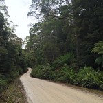
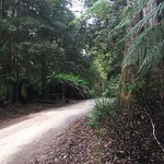
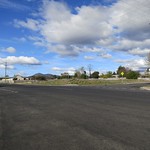
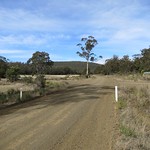
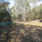
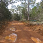
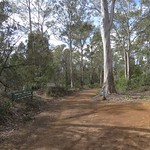
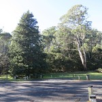
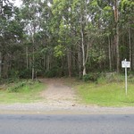
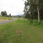
From the Bass Highway, the best route to Detention Falls was to turn south onto Myalla Road. This reached an intersection with Hawley’s Road. Hawley’s Road was unsealed for its two kilometre length, which ended in patch of gravel for parking cars and a gate labelled “Falls Track”. There were also two private farm driveways, both labelled to make it clear that they were not the way to the falls.
Continue reading “Walking to Detention Falls”

Walking to the Pelverata Falls Lookout

Photograph of long brown cliff with waterfall flowing down part of it.

Pelverata Falls form where Pelverata Creek flows west off Snug Tiers on the Huon Peninsula, Tasmania, Australia. The walking track described here leads from Crosswells Road to a lookout below the falls.

Getting there

Two road routes led to the start of the walking track. Both were slow driving due to the many bends.

  1. South from Sandfly on Pelverata Road. Drive through Kaoota and Pelverata, then turn left onto Crosswells Road. This half of Pelverata Road was narrow, but was sealed, unlike the other half.
  2. East from Woodstock on Pelverata Road. Drive through Upper Woodstock and across several bridges, then turn right onto Crosswells Road. This half of Pelverata Road was unsealed, but was wider than the other half.

Crosswells Road was also unsealed but only a kilometre long, ending in a car park at the start of the Pelverata Falls Track.

Continue reading “Walking to the Pelverata Falls Lookout”

Walking to Snug Falls

Photograph of waterfall pouring down layered cliff.

Snug falls form where the Snug River flows off Snug Tier, near the town of Snug on the Huon Peninsula, Tasmania, Australia. A short walk leads to the base of the falls.

Getting there

First we drove to the town of Snug, on the eastern side of the Huon Peninsula. Roads on the peninsula have more hills and bends than maps may suggest, so allow plenty of time for this part. From, Snug, Snug Tiers Road led west off the Channel Highway. This soon changed from sealed to unsealed, and split in two, with Snug Tiers Road continuing on the right and Snug Falls Road on the left. We took the left turn onto Snug Falls Road and followed it to the clearly signed car park.

Continue reading “Walking to Snug Falls”

Walking to Halls Falls, Tasmania

Photograph of short waterfall in bright sunlight.

Halls Falls lie on the Groom River, near Pyengana, Tasmania, Australia. A short walking track leads to the falls, with branches leading to a few other features along the Groom River and in the nearby forest.

Getting there

Unless you live in the town of Lottah (and, if you do, you don’t need directions to Halls Falls), the best route to Halls Falls is along the Tasman Highway. Drive to the junction with Anchor Road, and turn north there. The car park is on the east side of Anchor Road – on the right, if you are driving north.

Continue reading “Walking to Halls Falls, Tasmania”

Walking to Westmorland Falls

Photograph of waterfall between tree ferns.

Westmorland Falls flow off the Great Western Tiers, south of Mole Creek, Tasmania, Australia. The falls are short but picturesque and surrounded by rainforest.

Parts of the walking track to the falls were destroyed by floods in January 2011. Replacement work in 2013 included a new bridge and lookout platform. The bridge survived further floods in 2016 but the lookout platform did not. A replacement platform was built further downstream.

These photographs show the state of the track as it was in January 2015. As of January 2017, the repaired track was about 1.8 kilometres long (3.6 kilometres return).

Getting there

Westmorland Falls lie within part of the Mole Creek Karst National Park, so visitors will need a current National Parks Pass.

The simplest way to navigate to the falls was to drive to Mole Creek, then turn south onto Caveside Road (sealed). We turned west onto Wet Cave Road (unsealed), south at Honeycomb Cave, and then it was a short drive uphill to the Westmorland Falls car park.

If you are approaching from Launceston and are familiar with the area, turning onto Caveside Road at Chudleigh may be more scenic.

Continue reading “Walking to Westmorland Falls”

Walking to Lost Falls, Tasmania

Photograph of water flowing down sloping rock in a gorge.

There are many places titled “Lost Falls” in the world. The ones in Tasmania are quite easy to find, flowing off Wingys Tier on the east coast. They are also quite accessible, being an easy drive from most parts of the state followed by a very short walk to the lookout.

Getting there

From almost anywhere in Tasmania, the best route to Lost Falls started on Lake Leake Road (sealed). From there, we turned south onto McKays Road. About three kilometres along this road, we turned east at the sign that said “Falls”, and drove for another three kilometres to the Lost Falls car park.

Continue reading “Walking to Lost Falls, Tasmania”

Walking to Dip Falls

Photograph of water flowing across a sloping surface of basalt columns.

Dip Falls are found in the Dip River Forest Reserve, near Mawbanna in the northwest of Tasmania, Australia. They flow across two layers of black basalt columns, which give the falls a unique appearance among the hundreds of Tasmanian waterfalls.

Update

Parks & Wildlife upgraded the steps to Dip Falls in July 2017. The report below no longer describes the track accurately.

Four short walks lead to the base of the falls, a viewing platform, an old sawmill boiler and the “Big Tree”. While the base of the falls involves a long flight of steps, the other three walks would admit wheelchairs with some effort.

The “Big Tree” in the Dip River Forest Reserve should not be confused with the “Big Tree” and “Bigger Tree” in the Styx Big Tree Reserve in Tasmania’s south.

Getting there

The route to Dip Falls began with turning off the Bass Highway onto Mawbanna Road, south and east of Stanley. The Mawbanna Road wound around farms and hills; it was sealed but not fast or easy to drive, especially when a loose cow wandered onto the road.

After about 24 kilometres, Mawbanna Road reached a right turn onto Dip Falls Road. This was unsealed, but wide and in good condition, and only two kilometres remained to Dip Falls. The Big Tree was another kilometre further on.

Continue reading “Walking to Dip Falls”

Walking to Hardings Falls

Photograph of rocky gorge containing a placid green pool.

Hardings Falls lie on the Swan River, in the eastern part of Tasmania, Australia. A long drive and a moderate walk lead to river, a gorge and the falls.

Getting there

From most of Tasmania, the logical route to Hardings Falls would start at Avoca, follow Royal George Road through Royal George, turn left onto McKays Road and then right towards the falls.

Each of these roads was progressively less maintained. Our two-wheel-drive car reached the falls car park, but the last few kilometres required slow and careful driving.

Continue reading “Walking to Hardings Falls”

Walking to Lilydale Falls

Short wide waterfall, showing streaks due to long exposure.

Lilydale Falls flow down the Second River, near Lilydale, Tasmania, Australia. There are two falls accessible by a short walk along a well-made track.

Getting There

The falls car park was a short drive from Launceston, just north of the town of Lilydale. The road was sealed all the way up to and including the car park. A sign a few hundred metres before the turnoff to the car park would have been helpful. The turnoff itself was clearly marked by large signs.

Continue reading “Walking to Lilydale Falls”

Walking to Lobster Falls

Short, wide waterfall flowing into pool

Lobster Falls is comprised of two cascades in the Lobster Rivulet as it passes through the Gog Range, Tasmania, Australia.

Getting There

The good news: you can drive to the start of the Lobster Falls walking track without leaving a sealed road. It’s on the road between Deloraine and Chudleigh, within an hour’s drive of Launceston.

The bad news: the “car park” is a grassy patch next to the road, marked by a single signpost. Watch out for mud, especially if you’re visiting after rain to see the falls at their best.

Continue reading “Walking to Lobster Falls”